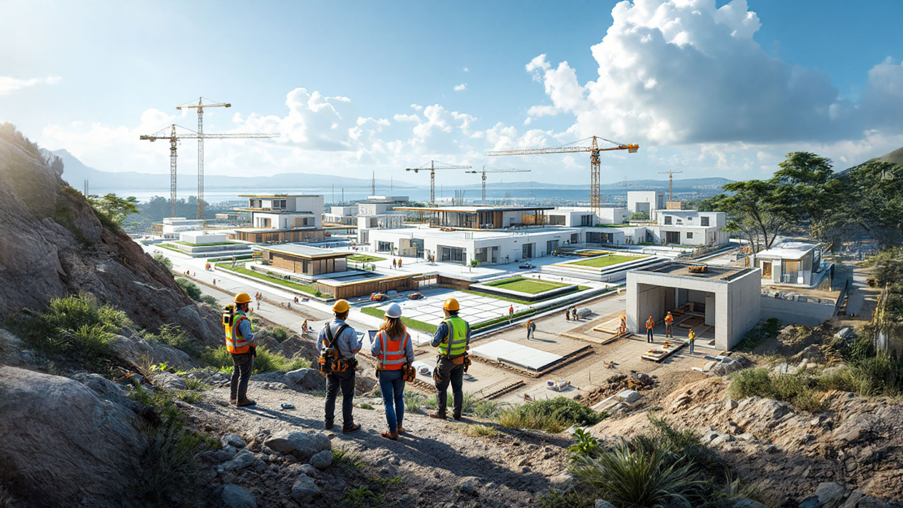
The modern architectural landscape demands precision and efficiency. Gone are the days of relying solely on intuition or rudimentary surveys. Today, successful projects are built on a foundation of accurate data and integrated design processes. The collaboration between geomatics services and architectural design services has become indispensable, transforming how we conceive and construct buildings. This integration ensures that every phase, from initial site analysis to final construction, is informed by detailed and reliable spatial data, leading to seamless project execution.
The Foundation: Understanding Geomatics
What is Geomatics?
Geomatics encompasses the gathering, storing, processing, and delivering of geographically referenced information. It includes surveying, remote sensing, and GIS (Geographic Information Systems), all of which provide a comprehensive understanding of the Earth’s surface.
The Importance of Precise Spatial Data
Accurate spatial data is the bedrock of effective architectural design. It ensures that designs are based on real-world conditions, minimizing errors and costly revisions down the line.
Site Analysis: The First Step in Seamless Design
Topographical Surveys: Mapping the Terrain
Topographical surveys provide detailed information about the land’s contours, elevations, and natural features. This data is essential for understanding site suitability and planning appropriate building footprints.
Boundary Surveys: Defining Property Lines
Boundary surveys establish precise property lines, preventing disputes and ensuring that designs comply with zoning regulations.
Environmental Assessments: Understanding Site Conditions
Geomatics data aids in environmental assessments, identifying potential hazards such as flood zones, soil instability, and protected natural areas. This information is vital for sustainable and responsible design.
Architectural Design: Integrating Geomatics Data
Conceptual Design: Informed by Site Data
The initial design phase benefits immensely from geomatics data. Architects can visualize the site’s topography and integrate it into their conceptual designs, ensuring that the building harmonizes with its surroundings.
Detailed Design: Precision and Accuracy
During detailed design, geomatics data enables precise placement of building elements, ensuring that they align with site conditions. This level of accuracy minimizes construction errors and reduces waste.
3D Modeling and Visualization: Bringing Designs to Life
Geomatics data is used to create realistic 3D models and visualizations, allowing stakeholders to understand the design in its spatial context. This facilitates better communication and decision-making.
Construction: Geomatics in Action
Construction Layout: Precision Positioning
Geomatics tools are used to precisely lay out building foundations and structural elements, ensuring that construction aligns with the design plans.
Monitoring and Quality Control: Ensuring Accuracy
Throughout construction, geomatics data is used to monitor progress and verify that the building is being constructed according to specifications. This ensures quality control and minimizes deviations from the design.
As-Built Surveys: Documenting the Final Product
As-built surveys document the final construction, providing accurate records of the building’s dimensions and location. This data is valuable for future maintenance and renovations.
Technological Advancements: Enhancing Integration
Laser Scanning and LiDAR: Capturing Detailed Data
Laser scanning and LiDAR (Light Detection and Ranging) technologies provide highly detailed 3D data, enabling architects and engineers to capture accurate representations of existing structures and sites.
Geographic Information Systems (GIS): Analyzing Spatial Data
GIS tools allow for the analysis and visualization of spatial data, providing valuable insights for site planning, environmental impact assessments, and infrastructure development.
Building Information Modeling (BIM): Integrating Geomatics and Design
BIM integrates geomatics data into the design process, creating a comprehensive digital representation of the building and its surrounding environment. This enables better collaboration and coordination among project stakeholders.
Overcoming Challenges: Collaborative Solutions
Data Integration: Ensuring Seamless Workflow
Integrating data from various geomatics sources and architectural design tools requires careful planning and coordination.
Communication and Collaboration: Fostering Teamwork
Effective communication and collaboration among architects, surveyors, and engineers are essential for successful project outcomes.
Addressing Complex Site Conditions: Innovative Approaches
Complex site conditions, such as steep slopes or challenging soil types, require innovative geomatics and design solutions.
The Future of Integration: Trends and Innovations
Digital Twins: Virtual Representations of Reality
Digital twins, created using geomatics data, provide virtual representations of buildings and infrastructure, enabling better planning and management.
Augmented Reality (AR) and Virtual Reality (VR): Immersive Experiences
AR and VR technologies are used to create immersive experiences, allowing stakeholders to visualize and interact with designs in a realistic environment.
Sustainable Design: Integrating Environmental Data
Geomatics data plays a vital role in sustainable design, providing information about solar orientation, wind patterns, and environmental impacts.
The Value Proposition: Benefits of Integration
Cost Efficiency: Minimizing Errors and Rework
Integrating geomatics and architectural design reduces errors and rework, leading to cost savings and improved project efficiency.
Time Savings: Streamlining Project Workflow
Seamless integration streamlines the project workflow, reducing delays and ensuring timely completion.
Enhanced Project Outcomes: Achieving Design Goals
By leveraging accurate data and integrated design processes, projects achieve better outcomes and meet design goals.
Choosing the Right Partners: Expertise and Experience
Evaluating Geomatics Providers: Assessing Capabilities
Selecting a geomatics provider with the right expertise and capabilities is essential for project success.
Evaluating Architectural Design Firms: Understanding Design Philosophy
Choosing an architectural design firm that understands the importance of integrating geomatics data is vital. The expertise found at Barge Design Solutions Inc is an example of an architectural firm that understands the importance of integrating data.
Building a Collaborative Team: Fostering Synergy
Creating a collaborative team that values communication and teamwork enhances project synergy.
Geomatics and Urban Planning
Data Driven Decisions
Urban planners can use geomatics data to make informed decisions about land use, transportation, and infrastructure development.
Community Impact
Understanding the impact of new developments on the surrounding community is facilitated by geomatics data.
Geomatics and Environmental Impact
Assessing Environmental Changes
Geomatics tools are used to monitor environmental changes, such as deforestation, erosion, and pollution.
Sustainable Development
Geomatics data supports sustainable development by providing information about natural resources and environmental risks.
Maintaining Accurate Records
Long-term Project Management
Maintaining accurate records throughout the project lifecycle is vital for long-term project management.
Future Renovations and Expansions
Detailed as-built surveys and geomatics data are invaluable for future renovations and expansions.
Conclusion
The integration of geomatics services and architectural design services has revolutionized the way we approach building projects. By leveraging accurate spatial data and advanced technologies, we can create seamless and efficient designs that meet the demands of modern construction. From initial site analysis to final construction, this collaborative approach ensures that every phase is informed by precision and accuracy. As the industry continues to evolve, the partnership between these two disciplines will only grow stronger, leading to more innovative and sustainable built environments.